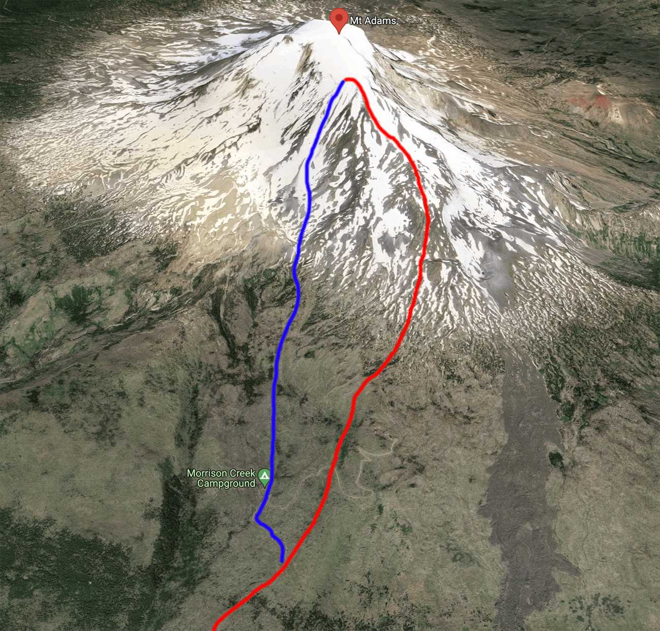
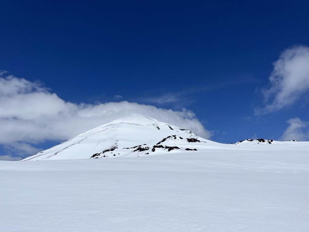
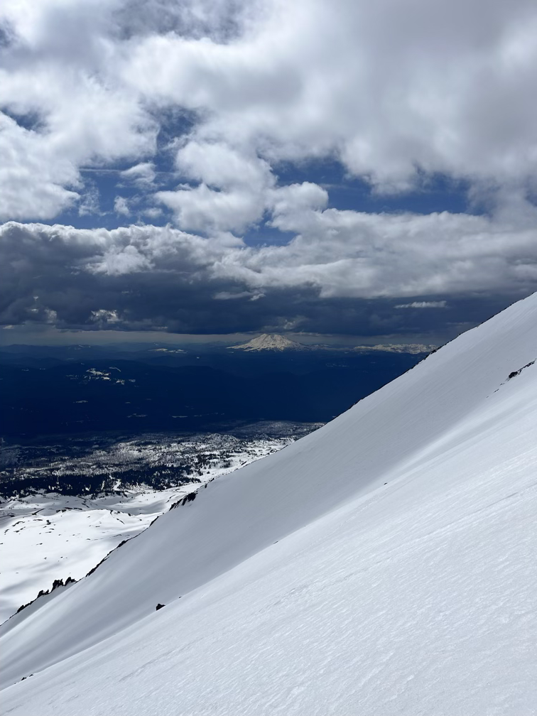
Half a million years old, Pahto is the easternmost of the major Cascade volcanoes and second only to Shasta in total mass of volcanic rock. Pahto has apparently eroded down below the present day height of Loowit more than once in its history, only to be rebuilt again from new eruptions. The present nearly flat summit plateau and false summit are the result of many repeated minor volcanic events. Like Shasta, Pahto has prominent glaciers on its north side but its south side often dries completely in the summer heat. Climbing Pahto from the summer trailhead is a climb of about 7700’ over 7 miles. On this particular day, the road was snowed out, making the climb to the just the false summit 8000’ over 9 miles. On the southwest flank of Pahto there is a continuous 3000’ chute that runs at almost exactly 35 degrees, perfect for enjoyable skiing.
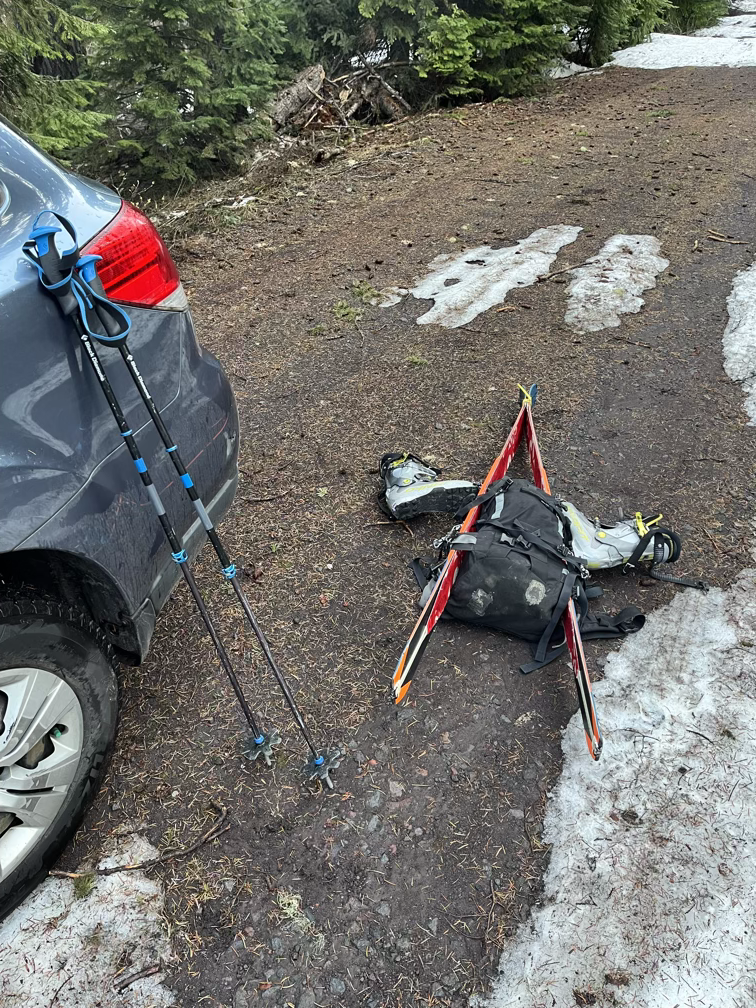
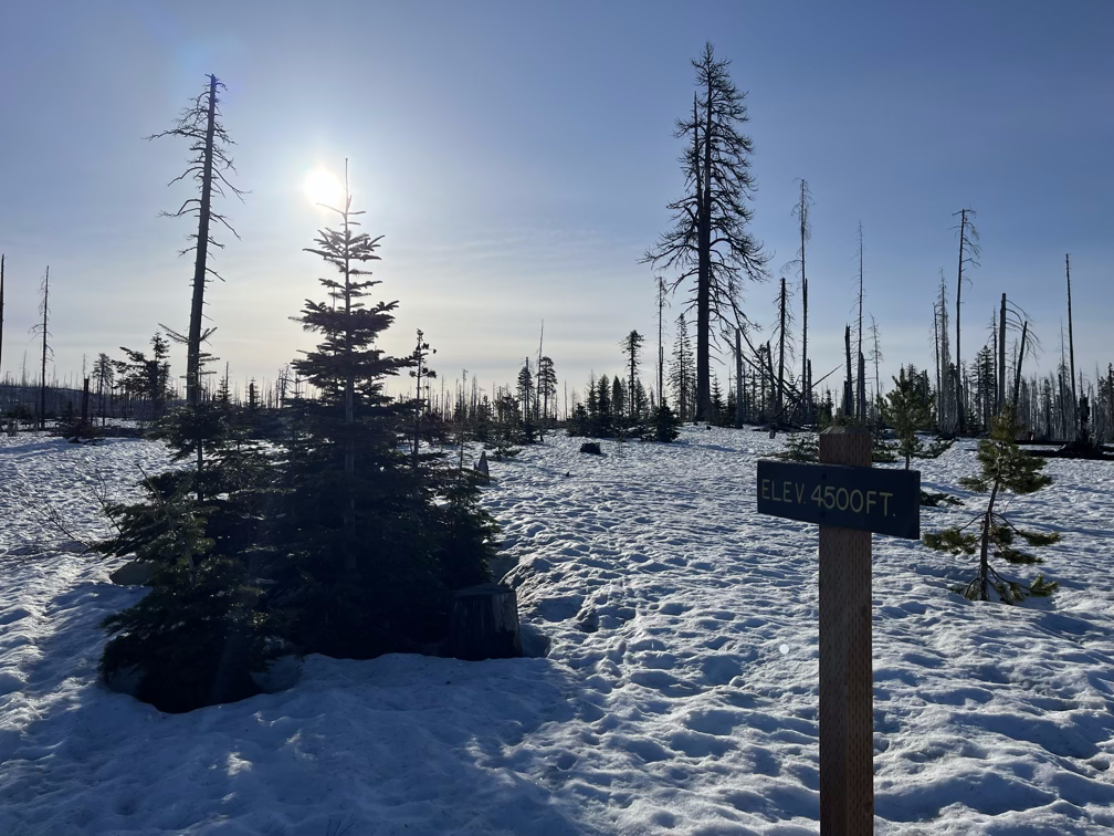
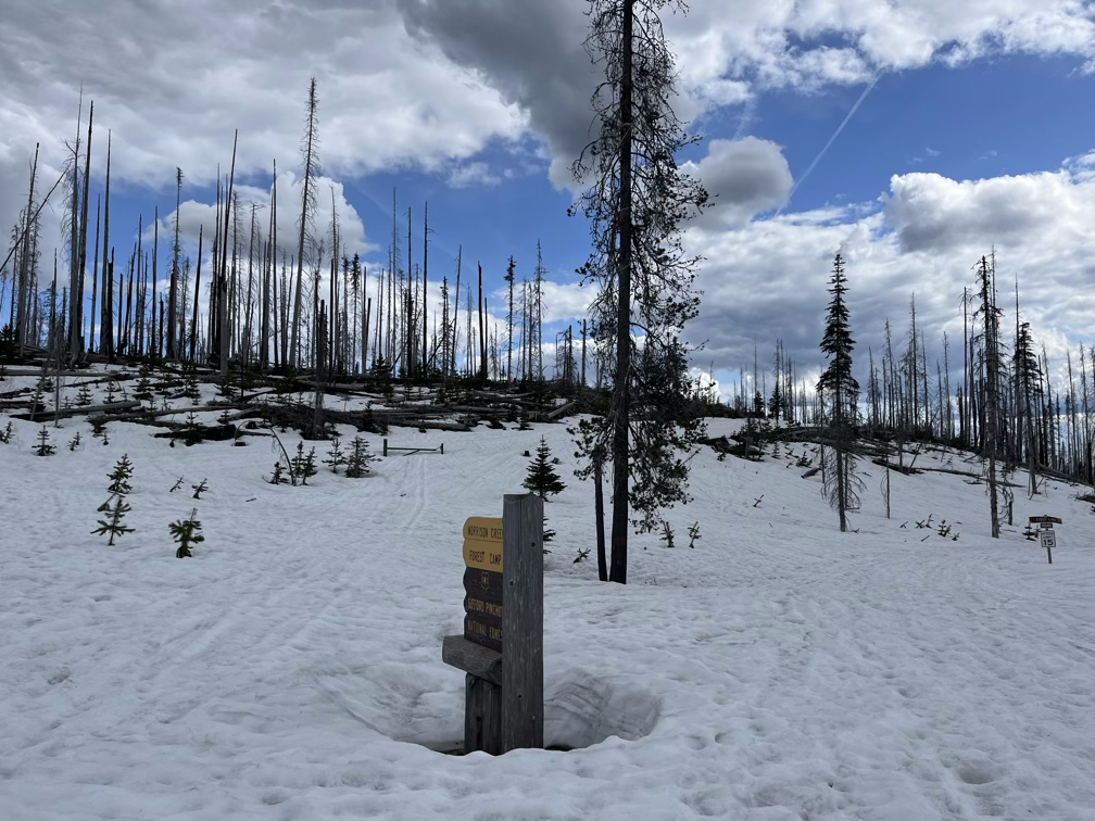
Step one of course is just getting to the trailhead. One annoyance about skiing is that there’s no central website that everybody uses to report ski conditions, and so that means it can be really difficult to know what the road conditions are like. In this case, that meant I unexpectedly arrived to find myself looking at a substantial extra walk just to get to the base of the mountain.
Pretty much immediately gave up on that plan and pulled the car back out.
With all the energy I spent on Helens I slept really well. I was totally out from about 9pm to 6am the next morning, so much so that a car drove past me sleeping and I had no idea, which is rare for me! 6:00am made for a very late start, but after seeing that the road was snowed out almost 2 miles and 1500 feet below where I had hoped to start my day I made the decision to sleep in a little later to give myself more energy for what was going to be a really big day. I think in the end that tradeoff went badly for me, because the heat affected me more than I think the lack of sleep would have, so in the future I’ll opt for less sleep and earlier starts!
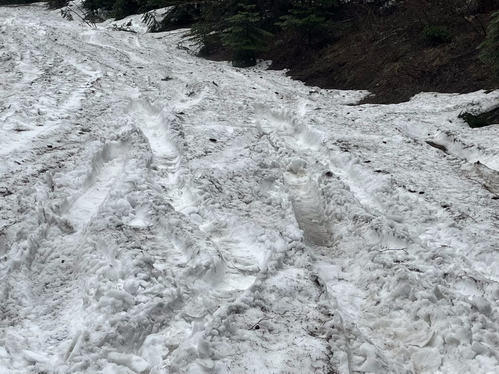
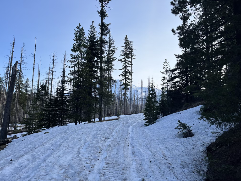
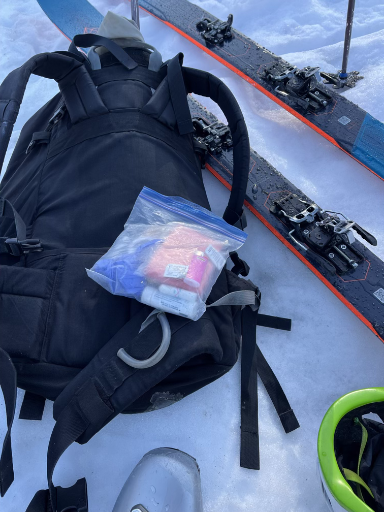
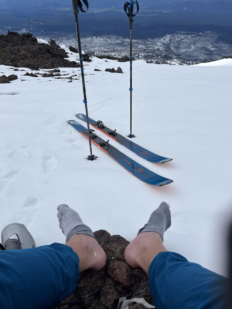
I tried to hustle a little up the road, hoping to get up a ways before the sun came up. As expected, the snowline was at about 4000’ and from that point on I was able to skin on the road or near it without running into too many downed trees. I did have to do a pretty comprehensive blister job, in an attempt to keep my heel skin attached for the rest of the day, although in the end everything I tried just sweat off my feet after a few hours.
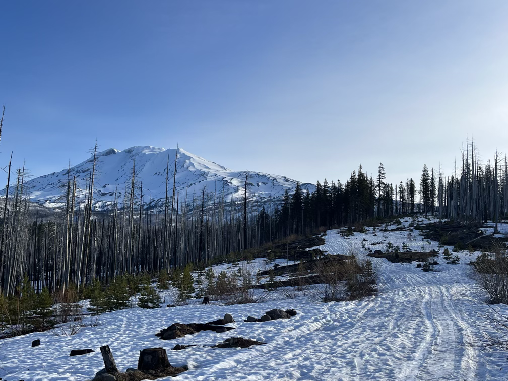
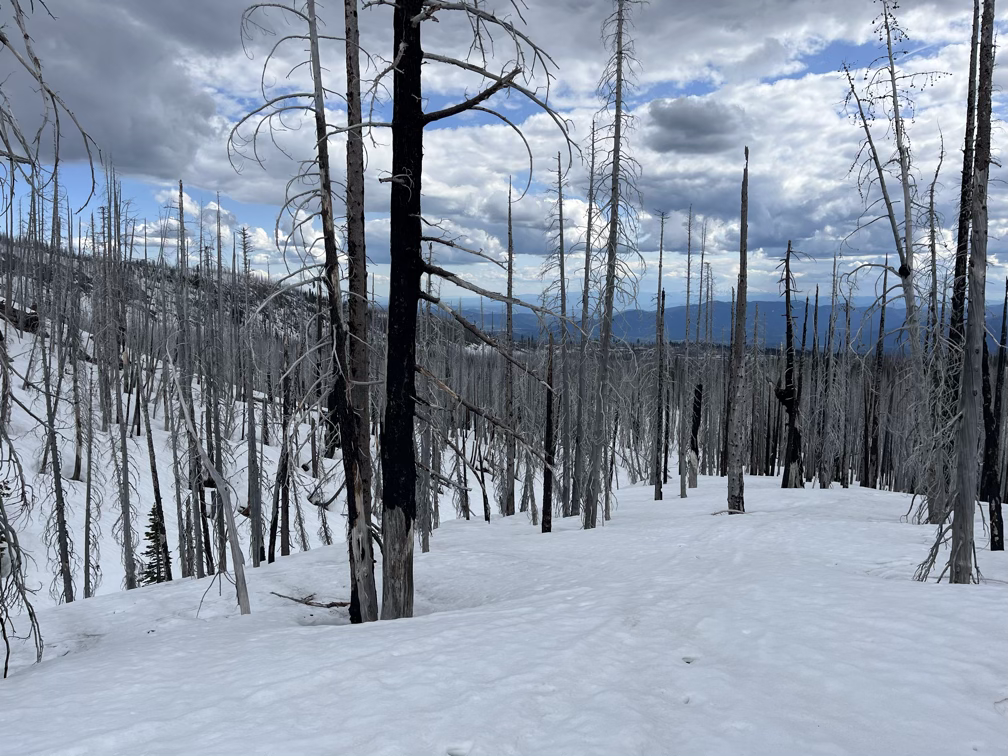
Pretty soon the sun was up and the mountain was in full view. Unfortunately, most of the approach to Adams from the south side goes through a burn zone, which made for some really tough conditions between the high temperatures and full sun exposure.
One of the options to ascend was to stay down low in a valley in the shade, so I opted for that to keep myself out of the sun for as long as possible, taking a break at about 5500’ to eat a bit more of a complete breakfast. I also took the opportunity to re-do my blister setup, which had already melted off.
The valley option did eventually cause me to get cliffed out, so I had to take my skis off and boot up a steep slope to get back on track. That section, up steep snow kicking steps in full sun put me over the edge and I started to feel like I was going to bonk, high heart rate, sweating a ton, so I found some shade near a tree and took a serious break.
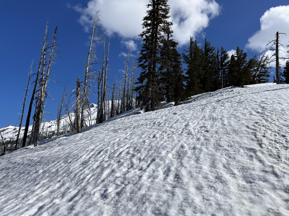
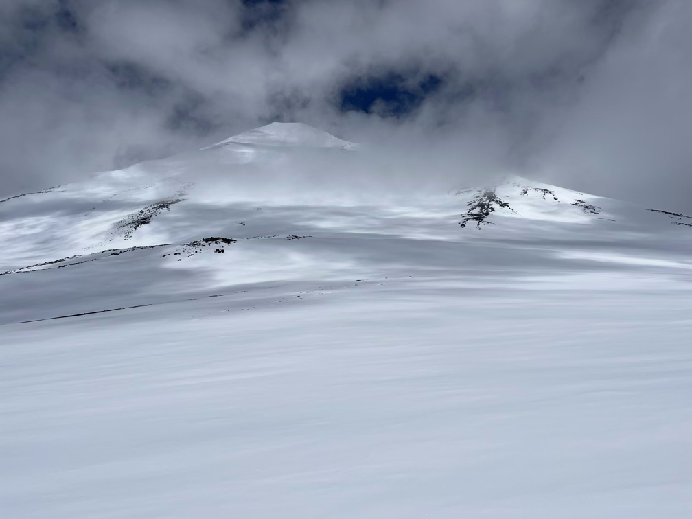
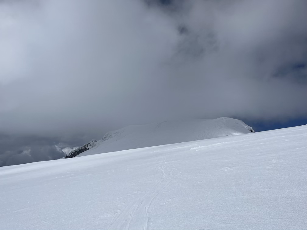
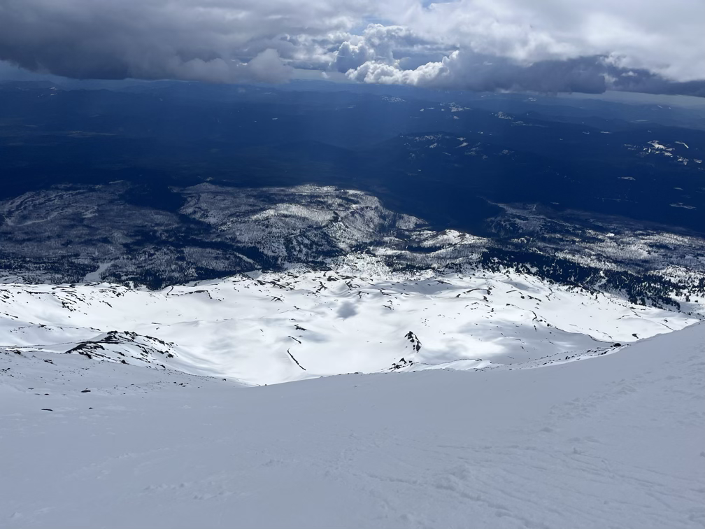
I got above treeline around this point and some very convenient clouds rolled in as I pushed up between 7000 and 9000 feet, slowly winding my way up big snowfields on the south flank of the mountain.
I had to take another blister fixing break around here, which is also when I realized that I was definitely going to run out of food on this hike. I kept re-packing my water bottle with snow, which helped me not run out of water, but I was probably about 1500 calories short of what I really needed. I find it hard on big days when I wake up early to do a good job judging how much food I really need.
You can tell I’m having a lot of doubts, between the heat and just the total sum of the day. Not exuding confidence in these long rambly videos! I’ll do better next time. Less talk, more action!
These three videos over the course of about two hours tell the whole story…
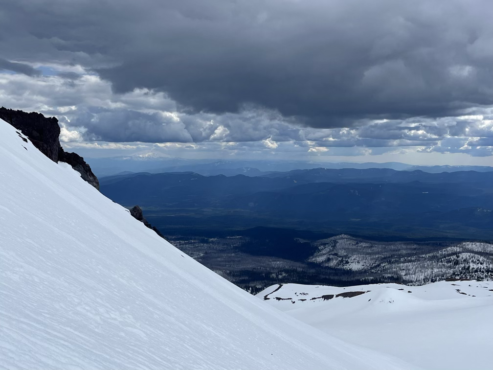
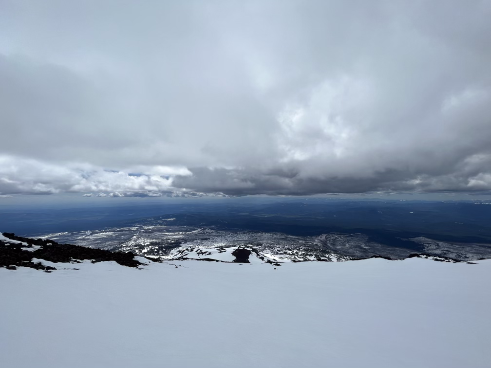
The chutes are tremendous. The combination of the position, scenery, the run itself, all the pieces together make for something really special.
The ski out from bottom of the chutes was uneventful, first there was some fast slushy skiing to get back down into the trees, and then just slow going through the woods until I got back to the campground and finally the trail, which unexpectedly went uphill for a brief section. I briefly channeled my inner Shay and tried to skate ski uphill but promptly put my skins back on and shuffled like a normal person.
And that’s a wrap! I scrapped the plans I had made to do Baker on Saturday at this point, my blisters were really really bad by the time I got back to the car and there’s no way they would handle another 7000’+ day. So I’ll give them a few days to heal and get some work done and then get back out again as soon as possible. I’ll be back soon to hopefully step on the summit of Adams!